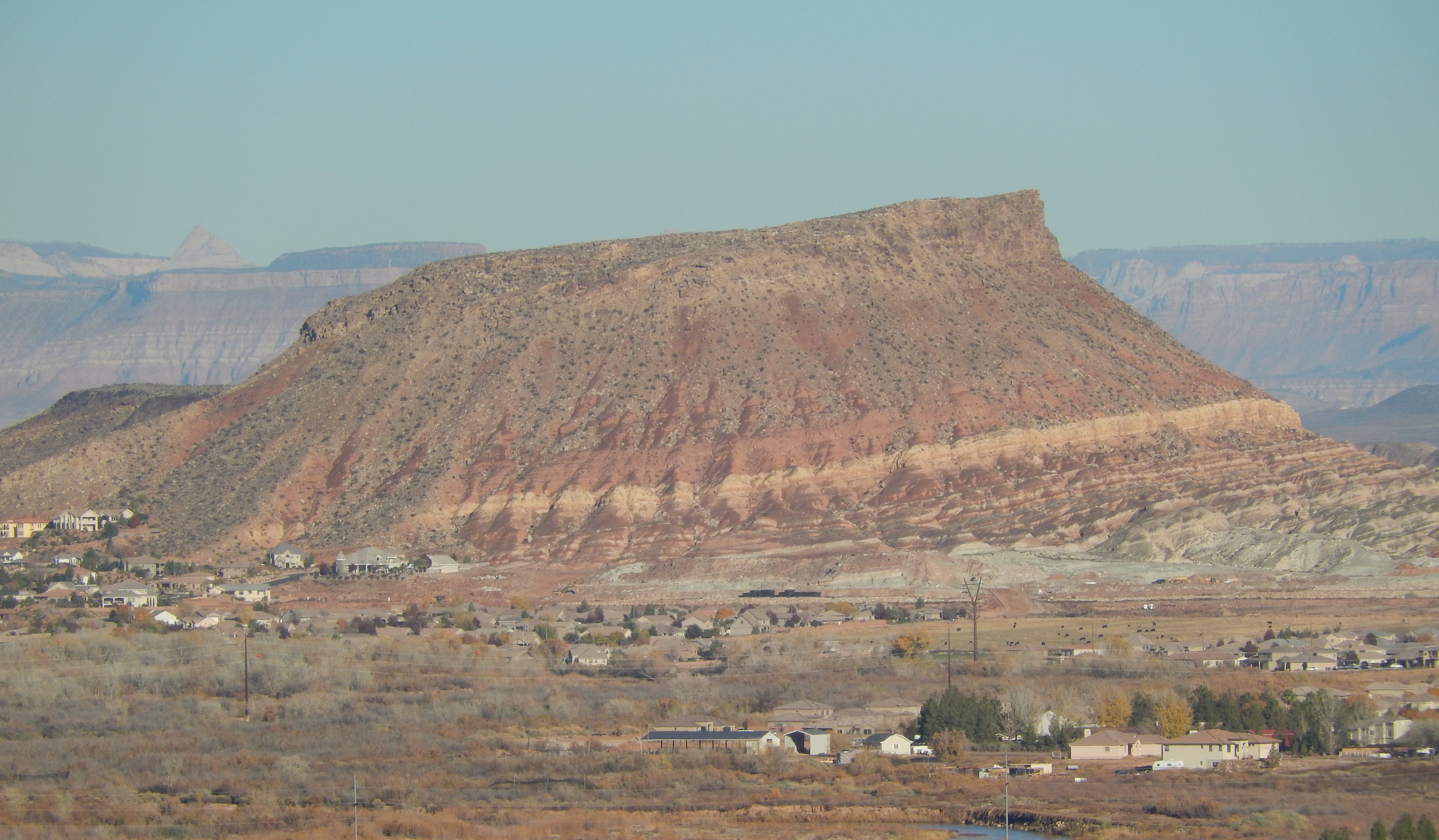
 Description: Shinob Kibe (pronounced Shih-NO-bee KY-bee) is a widely recognizable Mesa in Washington UT that is rich in history. Shinob Kibe is one of the biggest hills in Washington near the Virgin River, and it makes a great hike. The hike is somewhat strenuous going uphill. You will travel a total distance of about ¾ of a mile, ascend 600 to 650 feet and it takes about 20-30 minutes to reach the top. Shinob Kibe was named after the Southern Paiute deity “Shinob” which means “Great Spirit” and “kiab” meaning “mountain.” It was used by the Paiute Indians in 1800’s as a defense position against raids by the Utes and Navajos. Many years ago a rancher discovered a site near Shinob Kibe while he was plowing his field. The site consisted of quite a few skeletons arrayed in such a manner that archaeologists who later came and investigated it determined that it was a burial of warriors killed in a nearby battle between the Paiute and Utes and/or Navajos. In 1776, two Franciscan friars, Dominguez and Escalante, were sent to search for a route from Santa Fe New Mexico, to the recently established settlement in Monterey California. They made it as far as Southern Utah before being overtaken by winter and decided to return to Santa Fe. They were one of the first, if not the first, white men to visit Washington County. Indian tradition supports the view that Father Escalante spoke to the Indians Shinob Kibe in 1776. The Natives also built a 20 foot medicine wheel made out of rocks which were laid out on the ground in the shape of a circular wheel with spokes, and it was used for ancient healing. In addition to the rich Native American history, Shinob Kibe is also the home of one of the many concrete navigational arrows built in the 1930’s by the FAA and was used by pilots flying an air route from Los Angeles to Salt Lake City to deliver mail. You can also find a cave, and near the cave, you can also find a survey marker. There is also a geocache hidden somewhere on top of the mesa, and a geocache near the beginning of the hike. There is a Register Log at the summit for all to sign and read the entries of others who have documented their trek.
Cost: Free
Location: About 1020 Paiute Dr, in Washington UT 84780. From there you can walk to the trailhead.
Websites: https://www.facebook.com/ShinobKibe
http://wchsutah.org/geography/shinob-kibe.php,
http://www.geocaching.com/geocache/GC4EV4F_shinob-kibe-multi-and-optional-geo-tour
Just right after parking.
The big rock is actually the start of the trail.
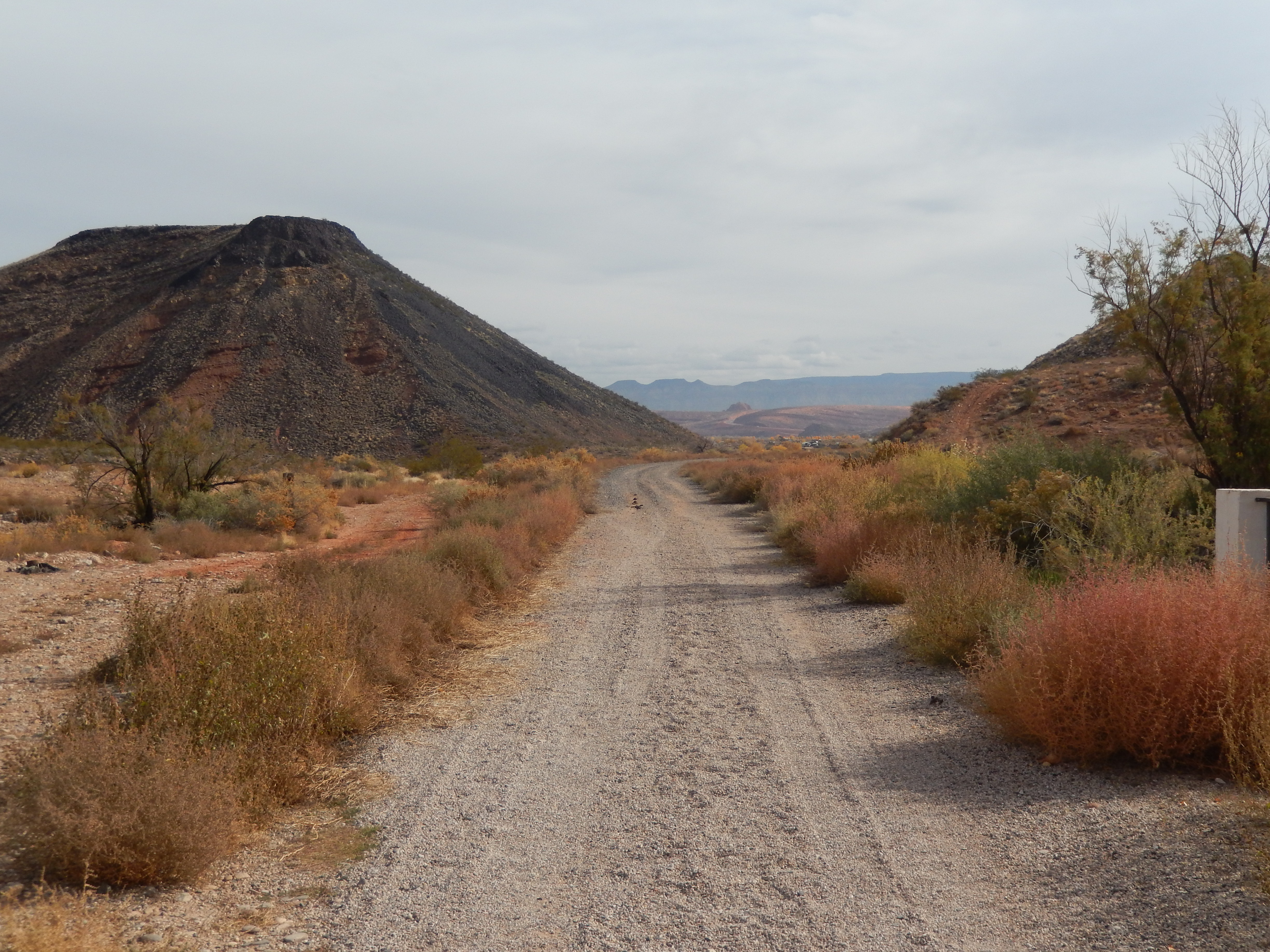
This is the starting point.

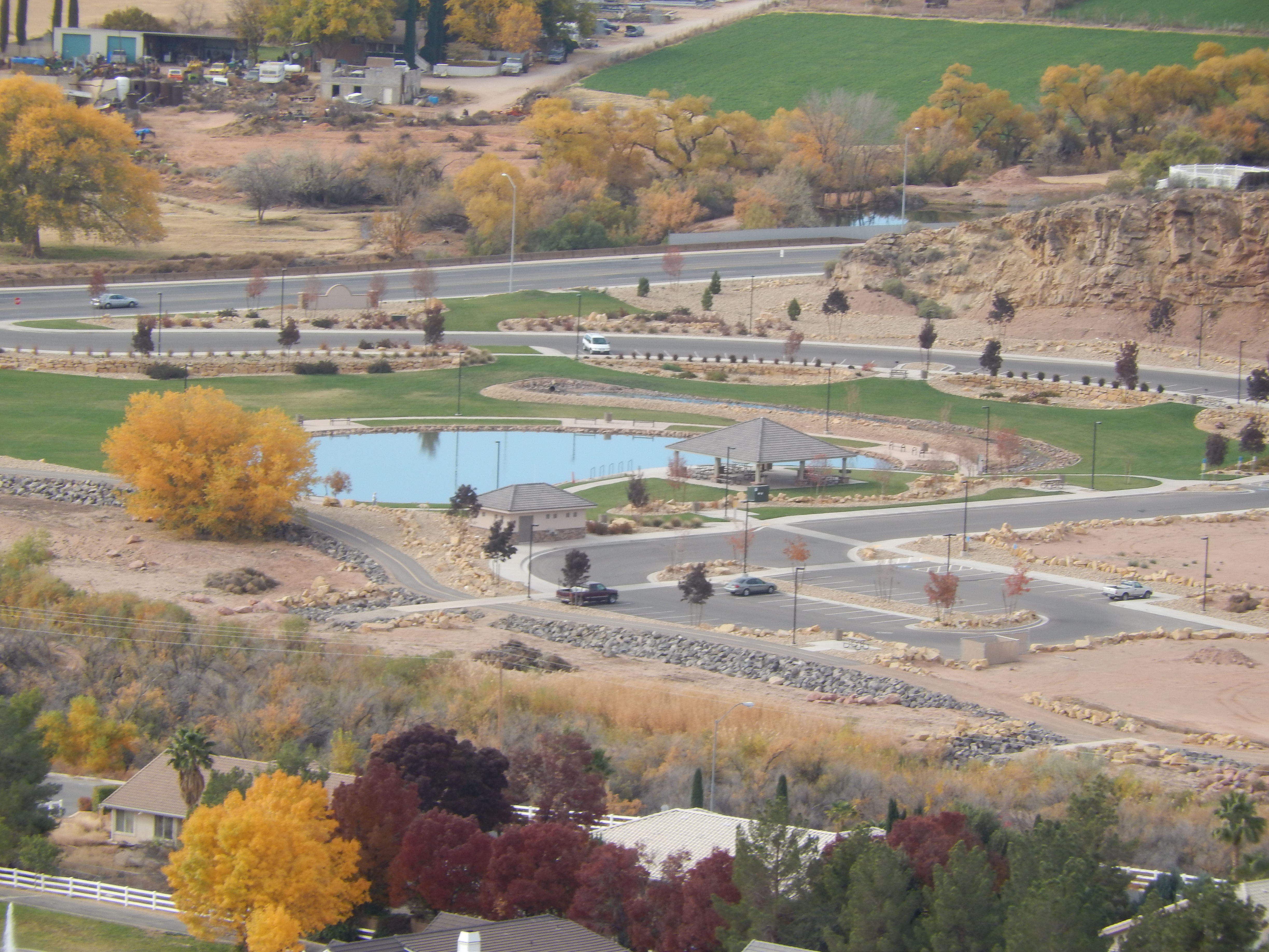
View of the park from half way up.
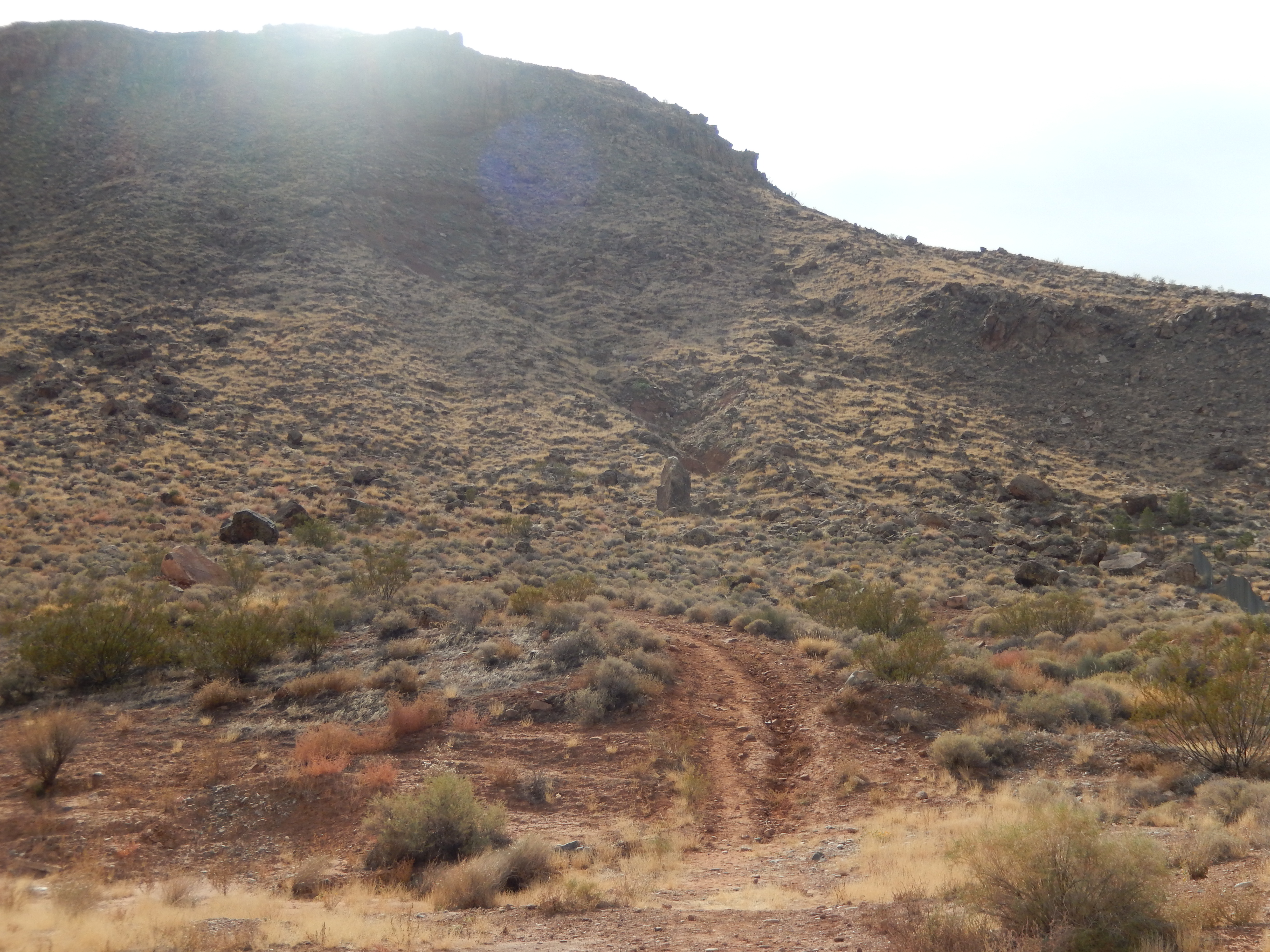
Zig Zag Path up the mountain. This is the hardest part, but it’s not so bad.

Panoramic views from the top.


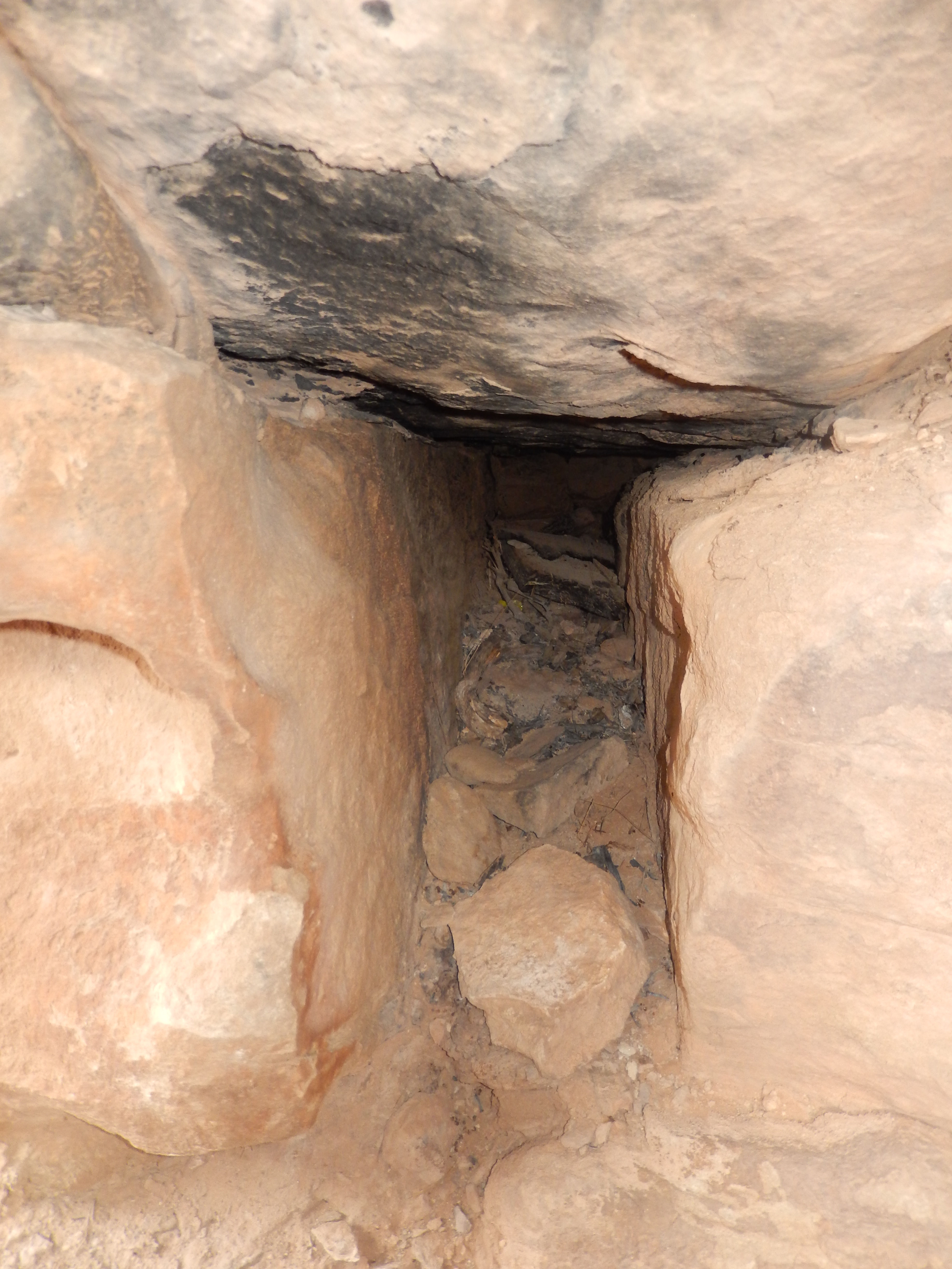
The lovers cave.

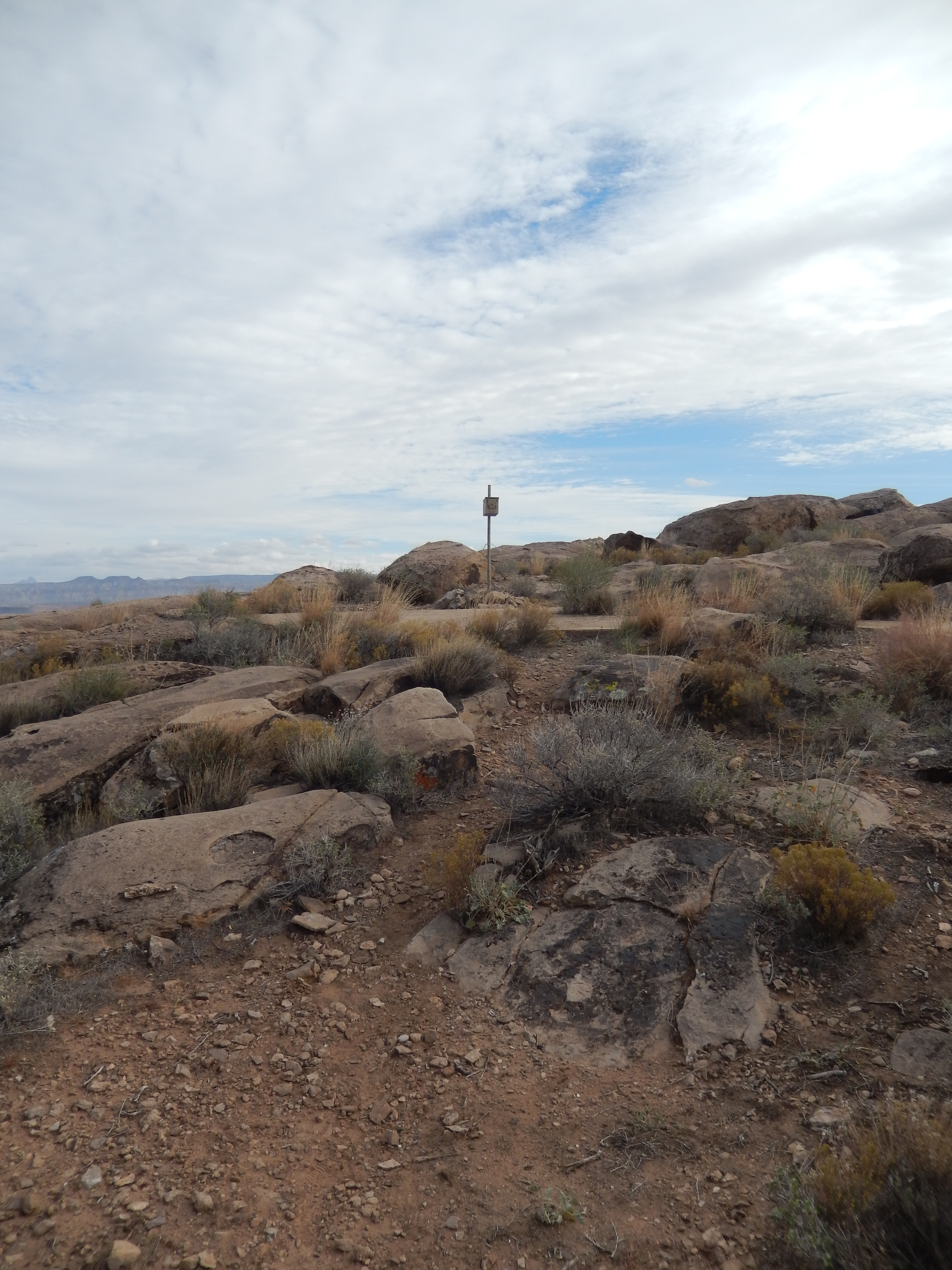
This is the sign in box.
Aviation Arrow on top of the hill.


This is the medicine wheel.
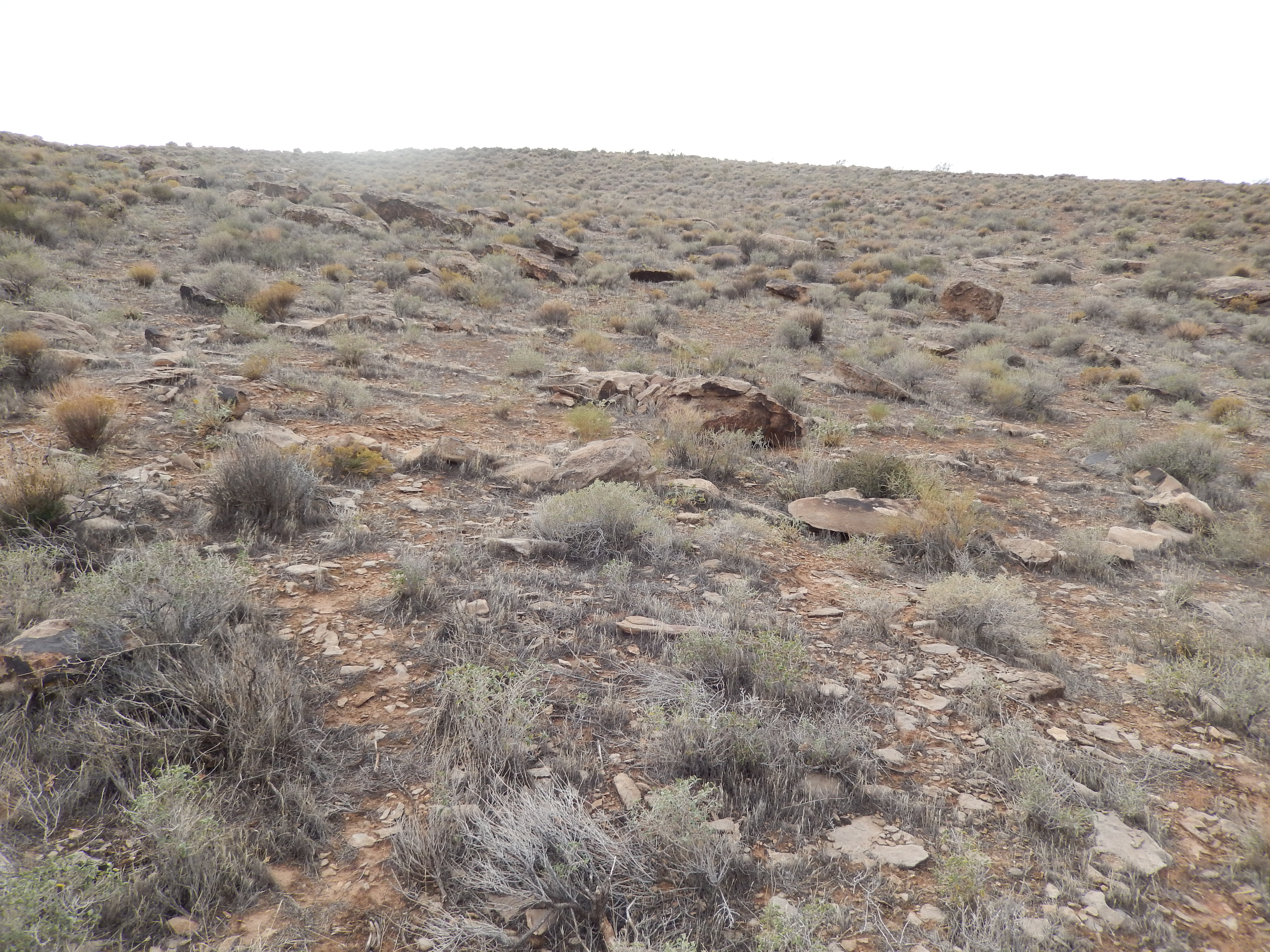

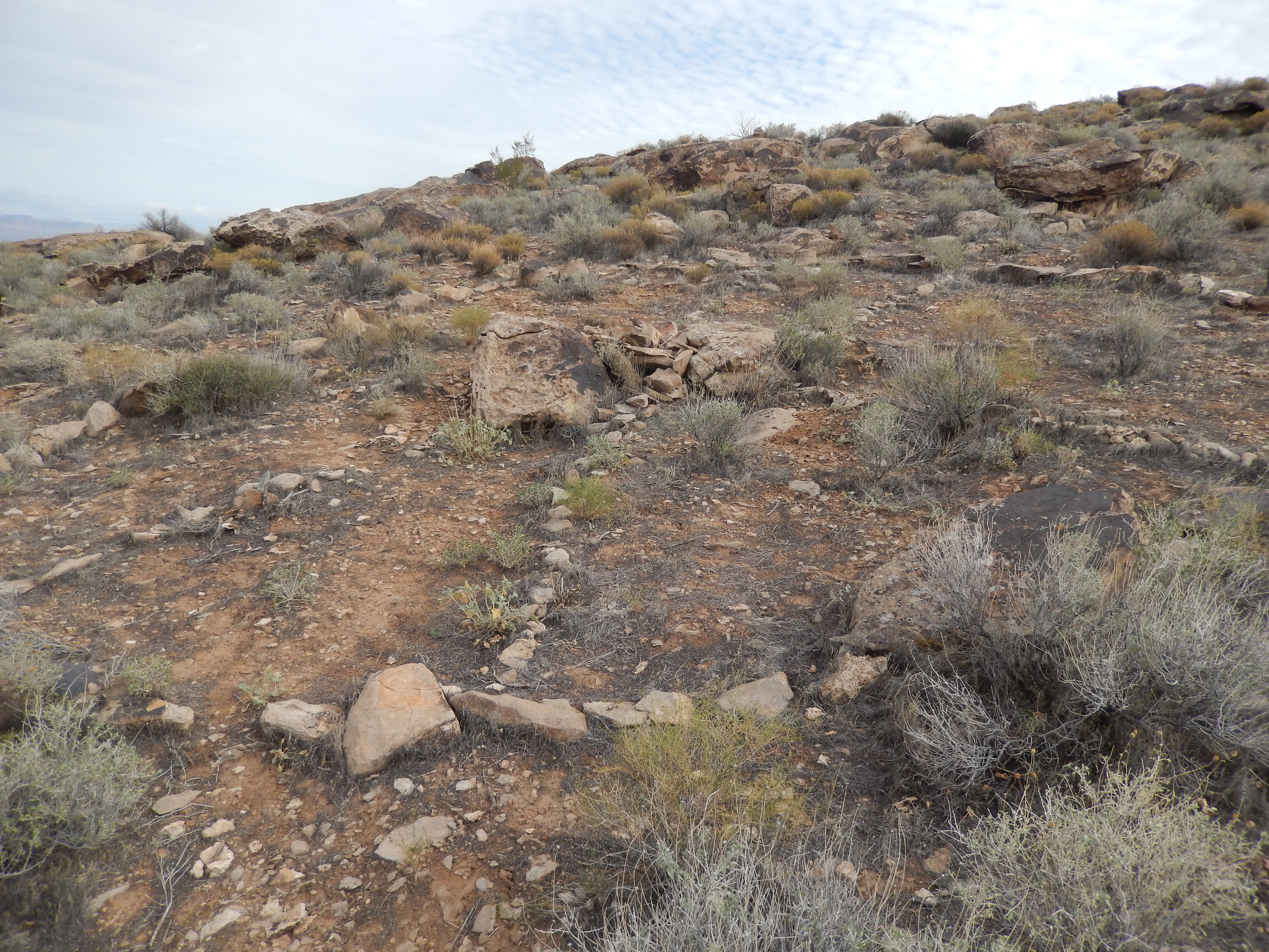
The wheel is kind of hard to see at first. It is near the burnt post in the ground when you are looking for it.
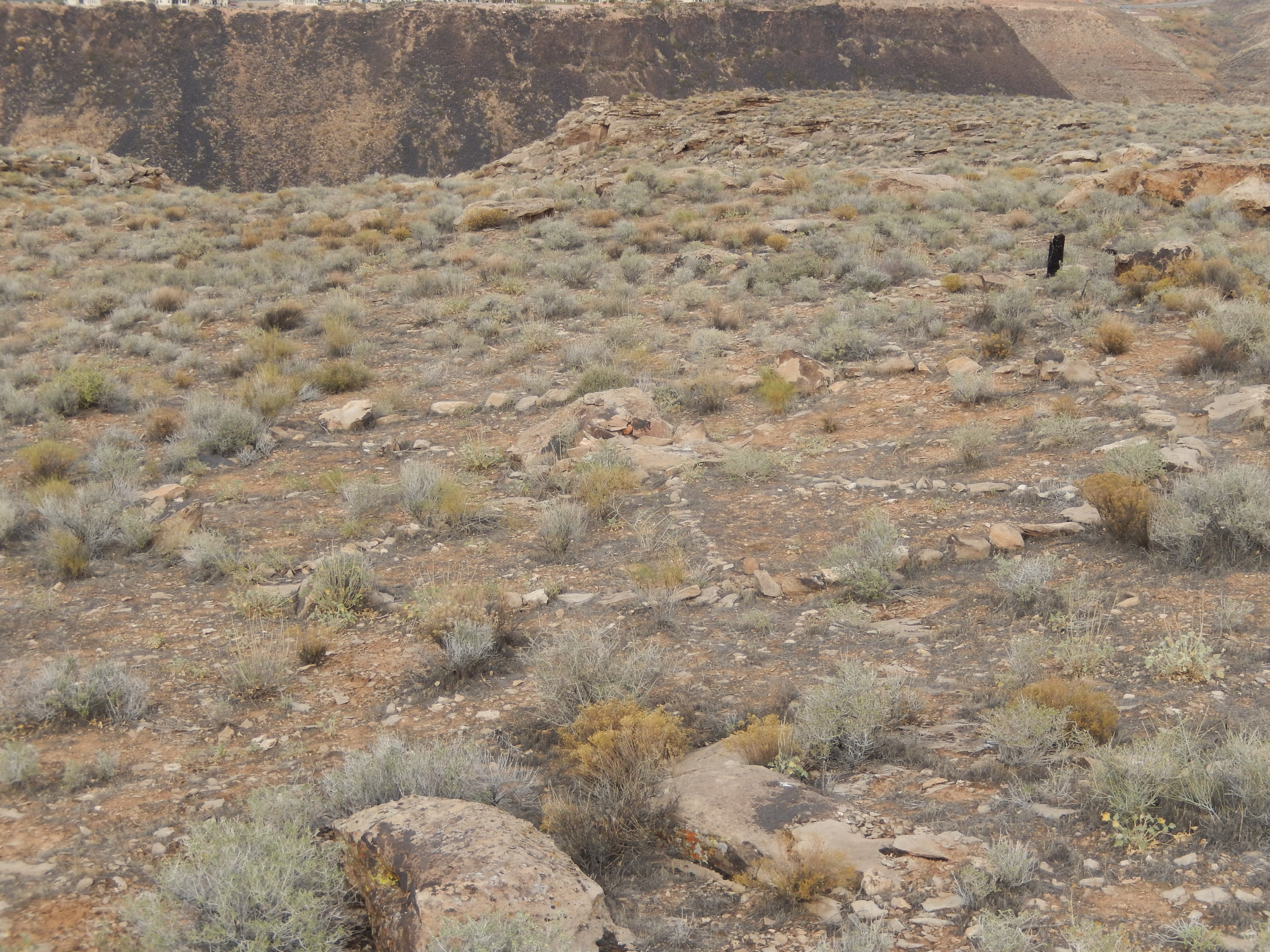
I edited this photo so there are no weeds growing to make the medicine wheel easier to see.

Outline of the medicine wheel.


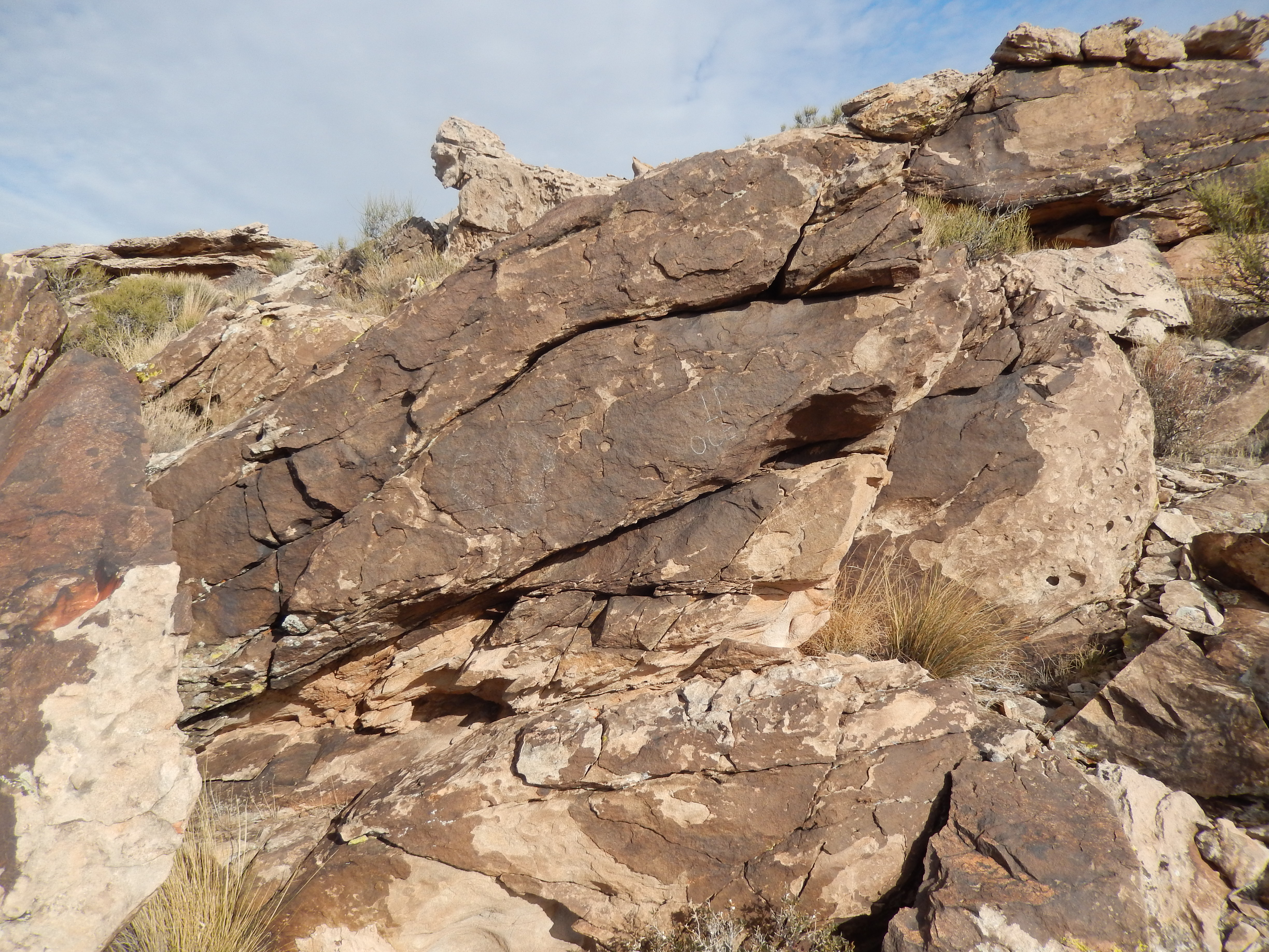
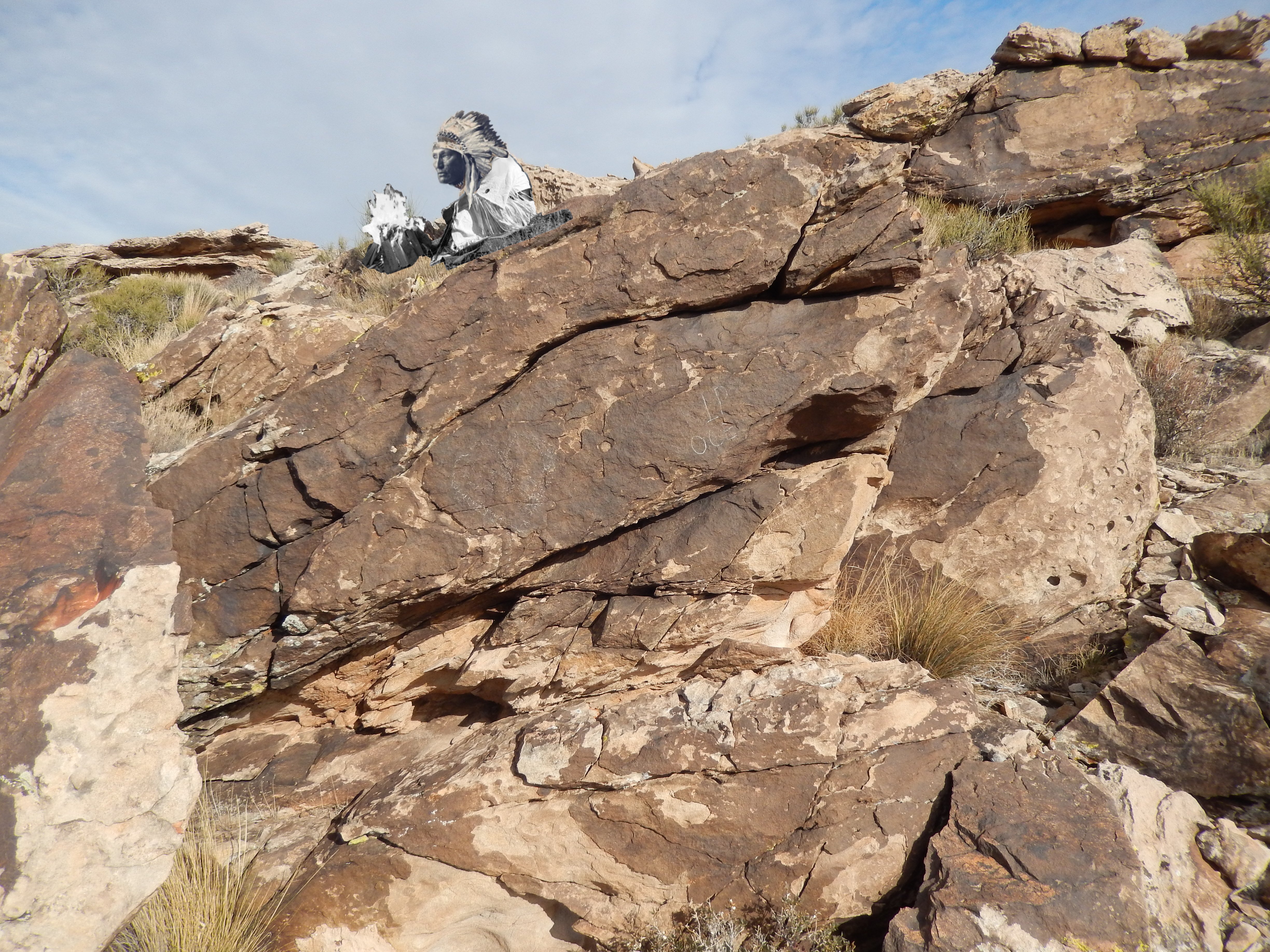
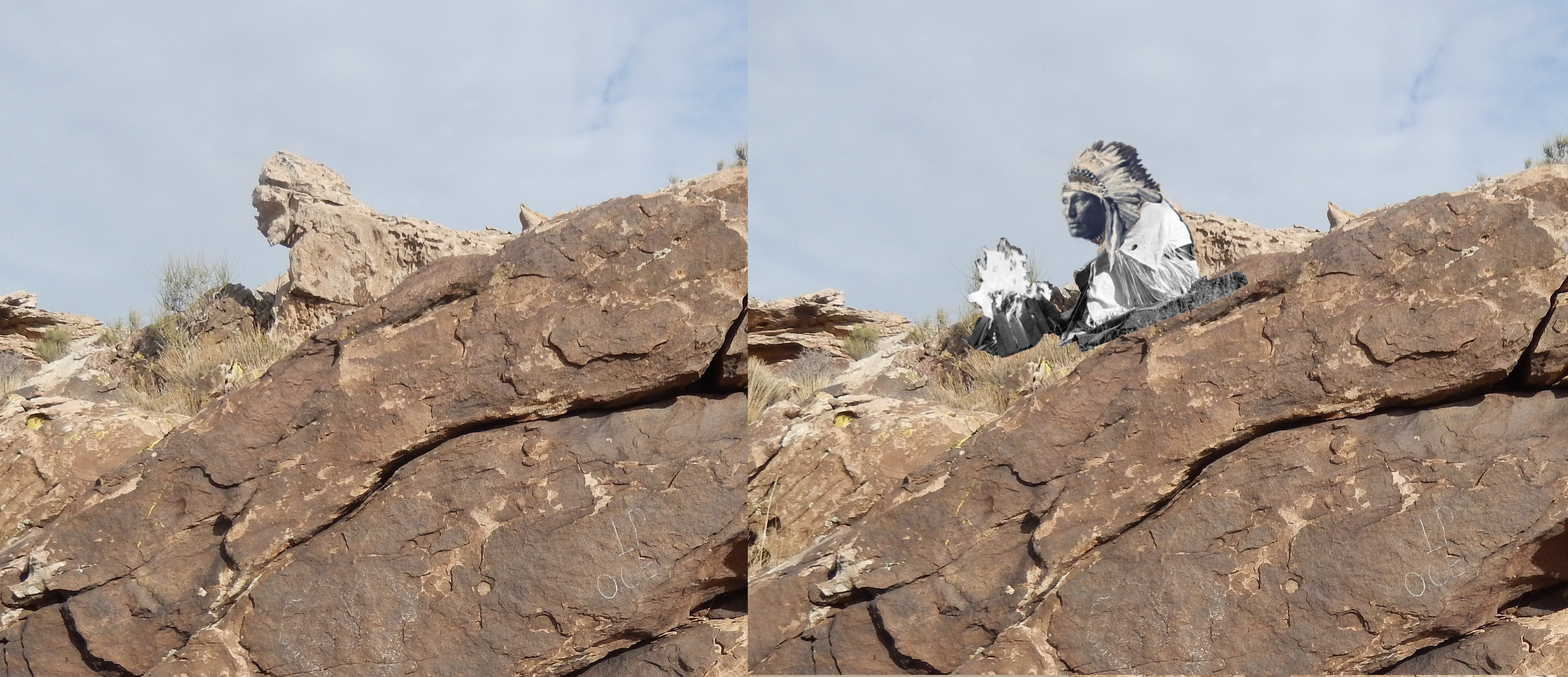
If you look at this rock from the right angle, some people think it looks like an Indian Chief
What do you think? (lol my work with Photoshop and some photos I found with Google)
Comparison of Chief Rock
Leave a Reply